
The must-ride mountain trails in Como come down to five standout routes that every serious rider should know: Monte Legnoncino, Monte Bregagno ridge, Tracciolino, Monte San Primo, and the Menaggio–Porlezza lakeside path. Each earns its place for a different reason — a 1,000-meter singletrack descent, a carved railroad terrace through rocky tunnels, high-alpine panoramas stretching toward the Bernina massif, and a flat lakeside cruise that welcomes every ability level.
One honest caution before you go: most high-alpine routes here involve hike-a-bike sections, and trail markings on remote routes are inconsistent at best. Carry a GPS device with an offline GPX track loaded before you leave the trailhead.
Pro Tip: Stunning Bike Co-Tours can pre-load GPX tracks onto your rental device and brief you on current trail conditions before you set out — a small detail that saves real time on the mountain.
The Altolagocomo Bike network documents 23 routes covering 380 km across the Upper Lake Como area, with difficulty classifications verified by CAI (Club Alpino Italiano) experts in partnership with the Lombardy Region. That grading system maps reasonably well onto international standards, so here’s how the region’s four levels translate:
Trails by level:
Equipment by level:
| Level | Bike type | Tire width | Key extras |
|---|---|---|---|
| Easy | Hybrid / hardtail | 2.1 | Helmet, basic repair kit |
| Medium | Trail full-suspension | 2.3 | Dropper post, knee pads |
| Hard | Enduro / trail FS | 2.4 | Full-face or MIPS helmet, body armor |
| Epic | Enduro / e-MTB | 2.4 | All above + flashlight, first aid, GPS |
Pro Tip: On Epic routes like Monte Legnoncino, an e-MTB doesn’t just ease the climb — it preserves enough leg strength that your descending technique stays sharp when the technical sections hit. Check our eBike vs regular bike guide before you decide which to rent.
The table below gives you the core planning data for each route side by side.
| Route | Distance | Elevation gain/loss | Est. ride time | Technical difficulty | Navigation |
|---|---|---|---|---|---|
| Monte Legnoncino | ~20 km | Significant gain and loss | 4 hrs | Hard–Epic (S2–S3) | GPX required |
| Monte Bregagno ridge | — | — | — | Epic (S3+) | GPX required |
| Tracciolino | ~12 km | Mostly flat (terrace route) | 2–3 hrs | Hard (S2–S3) | GPX + flashlight |
| Monte San Primo | 12 km | — | 4 hrs | Hard (S2–S3) | GPX required |
| Menaggio–Porlezza | ~8 km | Minimal | 1 hr | Easy (S0–S1) | Well-marked |
The descent drops significantly from the summit to Colico on a mix of technical singletrack graded S1–S3. Carrying sections appear on the steeper upper pitches. Start from Colico or Dervio; parking is available at the trailhead villages. Many riders return by train from Colico rather than riding back — a practical choice that lets you save your legs for the descent. GPX track is available on Ride MTB and Altolagocomo Bike.
This high-alpine traverse mixes asphalt approach roads, gravel, rough singletrack, and genuine carrying passages on the exposed ridgeline. Panoramic views stretch across Lago di Como toward the Bernina massif on a clear day. Start from Gravedona or Dongo on the western shore. No public transport return — plan a shuttle or a road descent. GPX strongly recommended; the ridgeline path is not waymarked.
Tracciolino is unlike anything else in the region: a ~12 km carved railroad terrace cut into the cliff face above the lake, threading through rocky tunnels secured with wire rope. It’s largely flat, which surprises riders expecting a typical MTB climb-and-descent format. Bring a flashlight — the tunnels are dark. Parts of the route are periodically closed by rockfalls and slips, so check current status before you go. Start from Piantedo or Delebio; limited roadside parking.
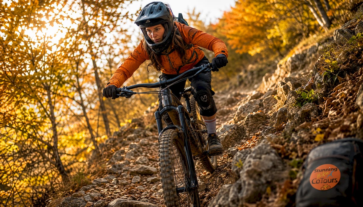
A demanding climb with a technical singletrack descent that can catch riders off guard when leaf cover hides the path in autumn. The summit views are worth every meter of climbing. Start from Bellagio or Civenna; parking available at both. GPS is non-negotiable here — the descent path is easy to lose under seasonal debris.
Following an old railway line, this mostly flat route connects Menaggio on Lake Como to Porlezza on Lake Lugano. It’s car-free or low-traffic for most of its length, making it a genuine family option or a pleasant warm-up day. No navigation challenges; the path is well-signed.
Statistic callout: Tracciolino runs approximately 12 km along a carved cliff terrace; Monte Legnoncino’s descent loses roughly 1,000 meters of altitude from summit to Colico.
Good planning separates a great day from a miserable one on these trails. The logistics here have a few quirks worth knowing.
Packing checklist:
Logistics:
Como and Colico are the two most practical bases. Como sits at the southern tip of the lake and gives easy access to Monte San Primo and the Menaggio–Porlezza path. Colico anchors the northern end and is the natural start or finish for Monte Legnoncino and Monte Bregagno. Train services run the length of the lake’s eastern shore, and bikes are generally permitted on regional trains — buy your ticket on board if the machine is out of service, as local ride reports confirm this is a common practice. Parking at trailhead villages is typically free but limited on summer weekends.
Seasonal planning: Spring and autumn are the preferred seasons — milder temperatures, fewer crowds, and trails that haven’t dried to dust or frozen over. Summer riding is possible but midday heat on south-facing descents is punishing; start before 8:00 AM. High passes may be snow-covered into May and again from November.
Safety note: Mobile coverage is patchy on remote ridgelines, including Monte Bregagno and upper Monte Legnoncino. Download offline maps on Komoot or a similar app before you leave. Alpine weather can shift from clear to stormy in under an hour — if clouds build over the ridge, descend immediately rather than waiting it out on an exposed section.
Pro Tip: Export your GPX track from Ride MTB or Altolagocomo Bike and load it onto a Garmin or Wahoo device the night before. For Tracciolino specifically, pack a compact headlamp — a phone flashlight dims quickly and you’ll want both hands free in the tunnels.
Safety callout: Remote routes like Monte Bregagno and Tracciolino can be partially closed by rockfalls with little advance notice. Always verify current trail status through local sources or your rental shop before attempting these routes.
| Your goal | Best trail | Time needed | Skill level |
|---|---|---|---|
| Maximum technical descent | Monte Legnoncino | Full day (4 hrs riding) | Hard–Epic |
| High-alpine panoramas + challenge | Monte Bregagno ridge | Full day (— riding) | Epic |
| Unique scenery, moderate effort | Tracciolino | Half day (2–3 hrs riding) | Hard |
| Summit views, manageable distance | Monte San Primo | Full day (4 hrs riding) | Hard |
| Family or mixed-ability group | Menaggio–Porlezza | Half day (1 hr riding) | Easy |
| Scenic loop, moderate fitness | Alto Lario Lake Como Loop | Full day (~4 hrs riding) | Medium |
Chaining routes: Tracciolino pairs well with a Menaggio–Porlezza ride on the same day — the flat terrace route in the morning, the lakeside path in the afternoon. Monte Legnoncino and Monte Bregagno are full-day commitments on their own; don’t plan a second technical route the same day unless your group is very fit.
Fitness and skills prep: For Hard and Epic routes, you should be comfortable riding loose, off-camber singletrack at speed and confident carrying your bike over your shoulder for 20–40 minutes at a stretch. If you haven’t ridden technical alpine terrain before, Monte San Primo is the most forgiving introduction — the descent is challenging but the escape options are better than on Monte Bregagno’s exposed ridge.
Andrea and the Stunning Bike Co-Tours team have guided riders across these routes across multiple seasons, and a few things stand out that most trail guides don’t mention.
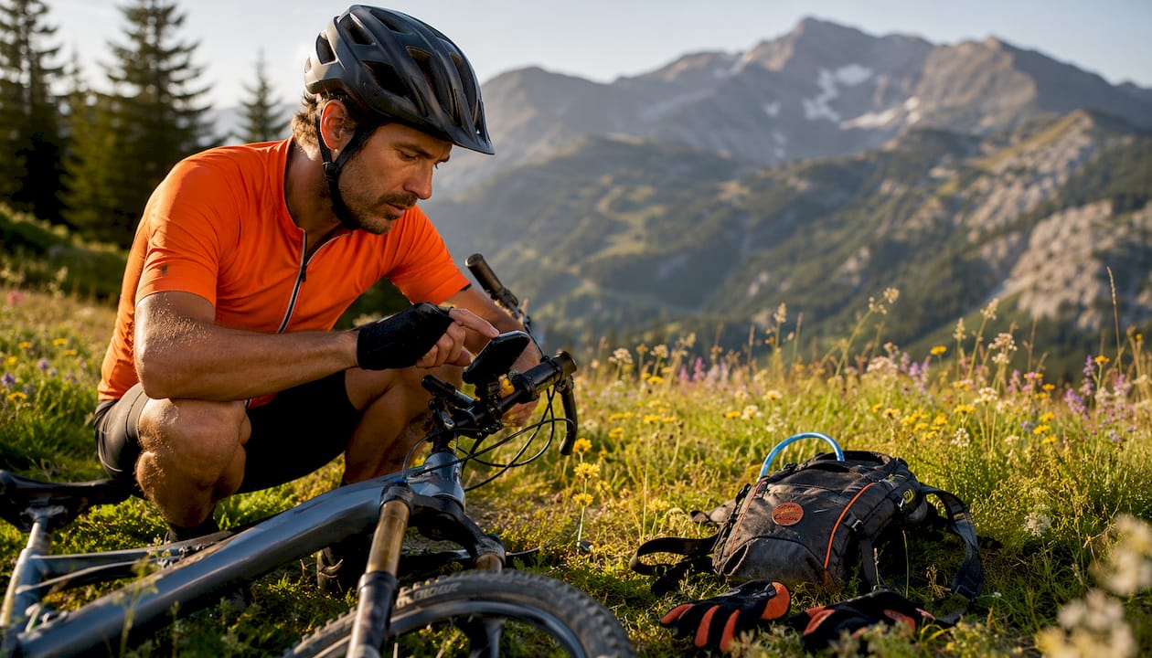
First, kit quality matters more here than on most European trail networks. The region’s defining contrast — long summit approaches followed by steep, technical descents where hike-a-bike is routine — means poorly maintained suspension or a worn drivetrain becomes a real problem, not just an inconvenience. Well-maintained, properly spec’d bikes are non-negotiable for the hard and epic routes.
Second, the Altolagocomo Bike network’s CAI-verified grading is genuinely useful for international riders who need to translate local S-grades into something familiar. Use it.
Stunning Bike Co-Tours offers guided rides with multilingual support, e-MTB rentals, and helmets with integrated audio guides that deliver local context hands-free while you ride. The fleet is serviced regularly, and guides carry spares for common trailside repairs. Over 4,000 riders have come through the shop, and the TripAdvisor five-star reviews reflect that consistency.
Pro Tip: Before renting an e-MTB for a hard or epic route, ask specifically about battery range at altitude (cold temperatures reduce range by 15–20%), suspension travel (you want at least 140 mm front and rear for S3 terrain), and whether the motor cuts out on very steep carrying sections. A good rental shop answers all three without hesitation.
One quick note for riders searching locally: Stunning Bike Co-Tours specializes in MTB rentals and guided rides. A nearby shop called Como Rental Solutions primarily rents motorbikes and is a different business entirely. We’re inside the hall of shops just off the main street — look for the large LED-lit store window with bikes on display. If you walked past a motorbike rental, you’ve gone too far.
The Lake Como mountain bike region rewards prepared riders with some of the most dramatic singletrack in northern Italy — but remote routes demand GPS, current trail checks, and solid kit.
| Point | Details |
|---|---|
| Top technical descent | Monte Legnoncino drops ~1,000 meters to Colico on S1–S3 singletrack; train return available. |
| Best for epic adventure | Monte Bregagno ridge combines high-alpine exposure, carrying passages, and panoramic Bernina views. |
| Unique tunnel route | Tracciolino runs ~12 km along a carved cliff terrace through rocky tunnels; bring a flashlight and check closures. |
| Family-friendly option | The Menaggio–Porlezza path follows an old railway line and suits all ability levels. |
| Local guided rides | Stunning Bike Co-Tours offers e-MTB rentals, multilingual guides, and audio helmets for riders who want expert support on these trails. |
There’s a version of Lake Como mountain biking that looks great on Instagram and a version that actually tests you. The gap between them is wider here than almost anywhere else in northern Italy.
Most riders arrive expecting scenic lakeside paths. What they find on Monte Bregagno or the upper sections of Monte Legnoncino is something rawer: loose scree under a wide sky, a ridgeline that drops away on both sides, and the kind of silence that only exists above the treeline. That contrast is what makes this region genuinely special — not just the views, but the earned quality of them.
The conventional wisdom says “rent a bike and follow the signs.” On these trails, that advice will get you lost or hurt. The routes that matter most here are poorly waymarked, seasonally affected, and technically demanding in ways that don’t show up on a tourist map. The riders who have the best experiences are the ones who download the GPX track, check trail conditions the morning of, and either hire a local guide or ride with someone who has been there before.
Flat lakeside paths like Menaggio–Porlezza are genuinely lovely and deserve their place in any trip itinerary. But if you came to Como for the mountain biking, the high-alpine routes are where the region earns its reputation. Ride them prepared, or don’t ride them at all.
Stunning Bike Co-Tours is the specialist bike rental and guided tour option in Como — not a motorbike shop, not a general tourism desk, but a dedicated MTB and e-MTB service built for riders who want to get on these trails confidently.
The fleet includes well-maintained e-MTBs and trail bikes suited to hard and epic routes, with suspension and drivetrain specs checked before every rental. Guides are multilingual, carry trailside repair kits, and know current conditions on Monte Legnoncino, Tracciolino, and the other key routes. The audio helmets deliver local context hands-free, so you’re learning about the landscape while you ride it.
Guided rides are especially worth considering if you’re tackling a high-alpine or exposed route for the first time, visiting with a mixed-ability group, or simply short on time and want someone else to handle the logistics. Book your rental or guided tour directly and save €10 on guided tours when you book direct. Find us inside the hall of shops near Como’s center — the large LED-lit store window with bikes is hard to miss once you know to look for it.
Before you ride, verify current trail conditions and download GPX tracks from these authoritative sources:
Always check the most recent ride reports on Ride MTB and Altolagocomo Bike the morning of your ride — trail status on remote routes like Tracciolino can change overnight after rain or rockfall.
Monte Legnoncino, Monte Bregagno ridge, and Tracciolino are the top technical picks; the Menaggio–Porlezza path is the best family-friendly option. The Altolagocomo Bike network documents 23 verified routes across the region.
Yes — the region offers everything from flat lakeside paths to high-alpine singletrack with over 1,000 meters of descent. Spring and autumn are the best seasons for both hiking and biking.
The Upper Lake Como area around Colico and Gravedona is the MTB heartland, with Monte Legnoncino’s 1,000-meter descent and the Monte Bregagno ridge among the most technically demanding routes in northern Italy.
On clear days from high-alpine routes like Monte Bregagno, you can see across Lago di Como toward the Bernina massif in Switzerland. Monte San Primo and Monte Legnoncino also offer panoramic views of the Alps and the lake below.
The northern lake around Colico and Gravedona offers the most dramatic mountain scenery. For lakeside beauty, the Menaggio–Porlezza path and the Sorico–Domaso stretch deliver continuous water views with minimal effort.